Our Solutions
Electricity Solutions
Introduction
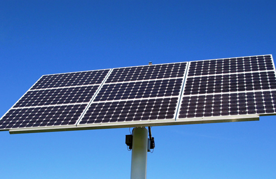
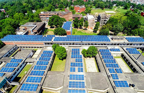
GIS is used for planning and monitoring power generation resources. Sophisticated spatial analysis is useful for determining optimum generation potential, formulating what-if scenarios, studying environmental impact, and managing facility assets. GIS is used to spatially analyze network congestion, consider growth opportunities for renewable energy sources, determine site feasibility, and create energy resource market scenarios.
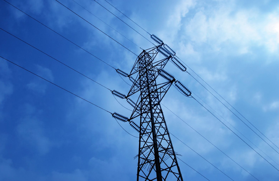
Power companies can intelligently plan, build, monitor, and manage their transmission networks using GIS technology. The geodatabase is a key component for maintaining and managing accurate transmission asset data such as substations, lines, and associated structures. Use GIS to assess grid reliability levels and formulate plans for improving reliability, meet compliance requirements, site and manage transmission corridors, inventory and schedule right-of-way maintenance, and analyze load growth or changes in load shape or strain on substation capacities.
Solutions
Using GIS technologies, generation and transmission companies improve their business operations by
 Analyzing market potential
Reducing maintenance costs
Optimizing assets
Monitoring environmental impacts
Automating processes
Streamlining work procedures
Improving earning potential
Integrating business systems