
Our Solutions
Forestry Solutions

Introduction
GIS technology profoundly and positively impacts the way land managers, timber managers, and forestry specialists manage timber resources. Esri's GIS software helps foresters and land managers meet the needs of their forests, the demands of society, and the pressures of economic efficiency.
Land managers increasingly turn to GIS for its analytic and visualization tools that allow them to analyze complex situations and make better-informed decisions.
With GIS software and data, agencies can track changes, identify resources at risk, create information networks for easy access to information, and generate planning maps.
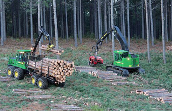
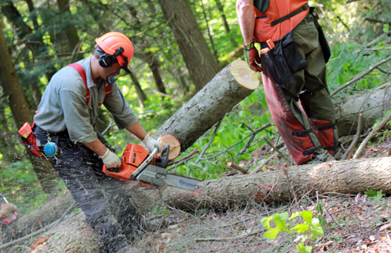
Geospatial analysis is used for the management of
 Forests
Wildfires
Ecology and habitats
Access to public lands