the overview

Introduction
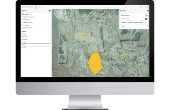
Qatar Petroleum aimed at developing an efficient multi-modal road network to leverage the economy of the industrial city of Mesaieed in Qatar. They entrusted us with the responsibility of doing a comprehensive survey and mapping of the region using satellite technology. With Qatar hosting the upcoming Football World Cup and Mesaieed being the biggest industrial city proximal to Doha, the national capital, a new Transport Master Plan was the need of the hour.
The entire MIC was surveyed using Total Station / DGPS to create more than 120 layers. The survey covered all road assets and mapped details like turn ways, zebra crossings and hard shoulders. The data collected formed the vital basis for the Transport Master Plan for the city for next 30 years.


The scope of work encompassed -
 Satellite Image procurement for Qatar (stereo pair)
 Satellite Image Geo-referencing
 Satellite Image geometric correction
 Satellite Image Ortho-rectification
 Satellite Image Ortho-mosiacing
 Arial Triangulation (Tie Point Measurement & Block Adjustment)
 DTM/DSM Generation using Satellite Image
 Vectorization and GIS mapping to pick up elaborate details of administrative boundaries, land use, infrastructure, contours, water bodies, vegetation and more.
